This page will help provide you information about summer weather in our area.
Watches and Warnings
Conditions are favorable for severe weather (tornado, thunderstorm, flooding) in your area.
Severe weather has been seen on radar or reported and will directly impact your location.
Summer Weather Terms
Issued when the heat index value is expected to reach or exceed 110°F within the next 12 to 24 hours. An Excessive Heat Warning may be issued for lower criteria if it is early in the season or during a multi-day heat wave.
Issued when severe thunderstorms are occurring or imminent in the warning area with winds of 58 mph or higher AND/OR hail 1 inch in diameter or larger.
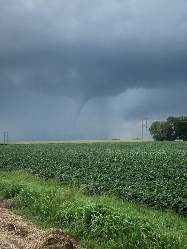
Issued when a tornado is imminent. When a tornado warning is issued, seek safe shelter immediately.
Issued to alert fire officials and firefighters of potentially dangerous fire weather conditions. The warning is issued when values are met in three criteria:
- Surface relative humidity (RH)
- Sustained surface wind of 20 MPH or greater
- 10-hour fuel moisture
Issued when flash flooding is imminent or occurring.
Issued when the following conditions are expected:
- Sustained winds of 40 mph or higher for one hour or more, OR
- Wind gusts of 58 mph or higher for any duration
LaMoure County Severe Summer Weather Statistics*
January 1, 1950 through December 31, 2019
0 deaths — 1 injury (July 17, 2011)
July 14, 2010 — Grand Rapids area
July 17, 2011 — 7.1 miles NW of Berlin
July 17, 2011 — 16.18-mile track
Highest Rated Tornado (EF Scale) — 2007 to Present
EF3 (136–165 mph) — July 17, 2011, 5:57 PM to 6:37 PM CDT
Track: 16.18 miles from 6.3 miles southeast of Nortonville to 6 miles south-southeast of Berlin. Width: 880 yards. Deaths: 0. Injuries: 1.
This long-tracked tornado crossed Russell, Wano, Henrietta, and Badger townships, impacting no fewer than five farmsteads. A farm home was completely destroyed, outbuildings were destroyed, a vehicle was tossed one-half mile and left nearly unrecognizable, and a significant number of large trees were snapped and uprooted. Farm animals were killed. Estimated damage: $750,000. Estimated wind speeds approximately 165 mph.
Highest Rated Tornado (F Scale) — 1950 to 2006
F3 (158–206 mph) — May 20, 1974
Track length: 17 miles — Width: 33 yards — Deaths: 0 — Injuries: 0
Highest Wind Speed (Non-Tornadic Thunderstorm Gust)
105 mph — July 14, 2010, 3:04–3:15 AM CDT — Grand Rapids area
Numerous trees were snapped and others uprooted. Damage to roofs and pole barns, and several grain bins were destroyed. Wind was estimated by an NWS damage survey team; a wind tower 10 miles west of Edgeley recorded a 103 mph gust.
Largest Hailstone
2.75 inch diameter — July 17, 2011, 6:05–6:35 PM CDT — 7.1 miles northwest of Berlin
This hail fell from the same thunderstorm that produced the EF3 tornado in LaMoure County.
*Updated January 1, 2020 by John Paul Martin, Warning Coordination Meteorologist, NWS Bismarck, ND. This data was compiled from several sources and contains the best information available. Due to difficulties inherent in the collection of weather data, it may not be all inclusive.