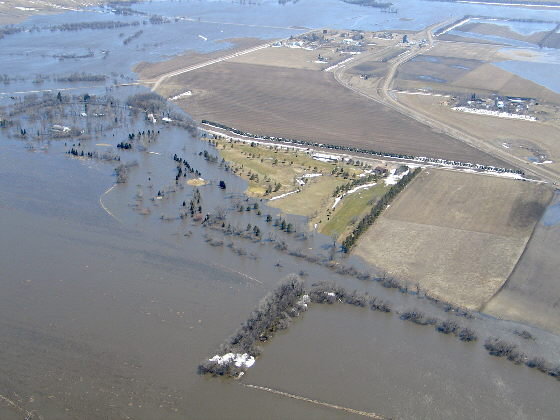
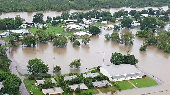
This page will have information on floodplain management, floodplain development permit and flood insurance.
LaMoure County And Incorporated Areas have identified areas that are at a high risk of flooding. To mitigate the effects of flooding, LaMoure County has joined the National Flood Insurance program and thus has an ordinance to comply with FEMA requirements. A Floodplain Development Permit will be used to evaluate any and all impacts of activities proposed within our floodplains. The Floodplain is available in the links below. The Floodplain Administrator shall provide and explain the floodplain, permit application and types of data required to request a permit. LaMoure County has designated the LaMoure County Emergency Manager as the Floodplain Administrator. The Floodplain permits will be reviewed quarterly by the LaMoure County Commission.
LaMoure County Floodplain Ordinance
The Floodplain Maps are availalble at www.msc.fema.gov or by calling 1-877-336-2627 (877-FEMA-MAP) or by this link below.
Here is a fact sheet on how the NFIP works: emergency programs vs. regular programs
Fact Sheet Emergency versus Regular Program2.pdf
Flood Insurance
Below are two fact sheets from the North Dakota Water Commission to help you start learning about Flood Insurance:
http://www.swc.nd.gov/pdfs/ndram_stats.pdf
http://www.swc.nd.gov/pdfs/flood_insurance_stats.pdf
You can only purchase flood insurance through an insurance agent or an insurer participating in the NFIP. You cannot buy it directly from the National Flood Insurance Program (NFIP). If your insurance agent does not sell flood insurance, you can contact the NFIP Referral Call Center at 1-800-427-4661 to request an agent referral.
https://www.floodsmart.gov/
Build a Kit
If you’re already on “high ground” during a flood, stay where you are. Be prepared by having your supplies already stored. #FloodSafety
Gather the supplies you may need in case a flood leaves you without power, water or gas. Supply list:http://www.ready.gov/kit
Know Your Risk
Learn your flood risk by entering your address in the Flood Smart widget, http://msc.fema.gov/portal/search

